Last updated: April 21, 2026
Place
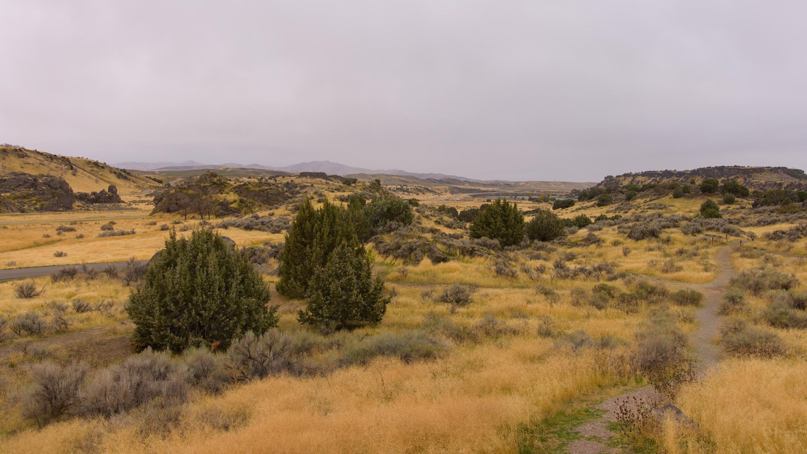
Massacre Rocks State Park
NPS Photo
Quick Facts
Location:
3592 Park Lane, American Falls, Idaho 83211
Significance:
Received its name from a grouping of boulders that created a narrow break through which the Oregon Trail passed
Designation:
Idaho State Park
MANAGED BY:
Amenities
9 listed
Canoe/Kayak/Small Boat Launch, Historical/Interpretive Information/Exhibits, Information, Picnic Table, Restroom, Trailhead, Trash/Litter Receptacles, Water - Drinking/Potable, Wheelchair Accessible
Massacre Rocks State Park received its name from a grouping of boulders that created a narrow break through which the Oregon and California Trails passed. Emigrants, fearing that American Indians might be waiting in ambush, named the boulders "Massacre Rocks." Skirmishes between emigrants and Shoshone Indians did occur in August 1862, but these took place east of the park. The state park still contains visible remnants of the Oregon and California Trails, including deep ruts that can be visited by following a paved path at the end of Park Lane, northeast of the visitor center. The visitor center itself has exhibits and interpretive panels about the wagon trails.
The park also offers 7.5 miles of hiking trails, some with interpretive waysides; biking; wildlife viewing; river access for boating and fishing; and a 42-site campground with hookups. Modest admission is charged.
Site Information
Location (3592 Park Lane, American Falls, Idaho 83211)