Last updated: May 17, 2023
Place
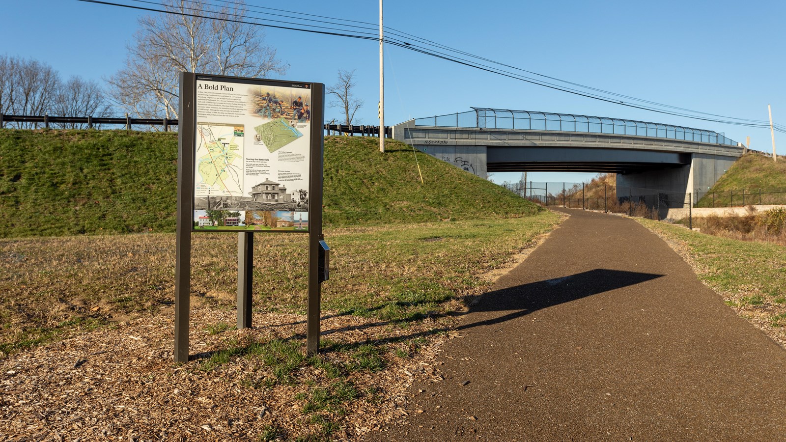
Interpretive Panels: Junction Trail

NPS / Claire Hassler
Audio Description, Cellular Signal, Historical/Interpretive Information/Exhibits, Parking - Auto, Restroom, Trailhead
The Junction Trail begins at the Southeast corner of the Monocacy National Battlefield Visitor Center parking lot. Halfway between the bend of the trail and the bridge are two Wayside signs: “Slave to Soldier” and “Nick of Time.”
The trail is a well-maintained natural grass, gently rolling loop, approximately one (1) mile long. It starts at the corner of the parking lot and is denoted by a marker and sign. The trail leads heads South, paralleling the railroad spur tracks. In 1864 this spur line was used for cargo only. The trail borders a farm field planted (rotationally) with crops of corn, alfalfa, soy beans or wheat. About 3/4 of the way along the east leg of the trail crosses a farm road that extends from Rte. 355 across the railroad tracks to a small farm field to your left. This road, and the small farm field, are NOT accessible to the public.
Standing at the Wayside signs looking South the land drops off about 10 feet to the track level. The tracks at the bottom of the cut just before you are the spur line rails. About 50 feet beyond the main line rails leads to Baltimore and points west. The junction of the rails is further to the west on the other side of the current bridge. Inside the Vee formed by the tracks stood the Monocacy Junction station. Looking to the left you can see where the farthermost tracks curve off toward the Monocacy River Railroad Bridge. During the battle Union forces took cover in the railroad cut.
At this point the trail turns North (right) and back towards back to the Visitor Center. Rte. 355 is to your left and the farm field is to your right. This section is a bit more rolling than the Eastern leg. Just after you cross the farm road on your return, you will top the highest point of this section of the Battlefield. Looking ahead (north) you have an clear and open view towards Frederick. Looking behind you, there is a shallow swale. The trail back to the Visitor Center parallels Rte, 355. At the end of the farm field on the right, is a beige marker post with a blue stripe which marks the turn right to proceed back to the Visitor Center.
- Duration:
- 1 minute, 23 seconds
Join ranger Mannie to learn about the United States Colored Troops recruiting station that was established at Monocacy Junction.
