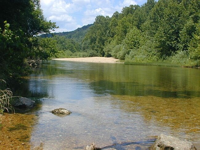
The Current River is formed by the confluence of Pigeon Creek and the Montauk Spring complex near Montauk, Missouri. From its beginnings the river flows approximately 184 miles in a southeasterly to south direction before flowing into the Black River near Pocahontas, Arkansas. The Current River Watershed (including the Jacks Fork Watershed and Current River Watershed in Arkansas) has 16 cities and towns within or partially within its boundary and approximately 3,407 miles of road (not including the Jacks Fork Watershed or Arkansas). |
Last updated: January 5, 2018
