Mapping History for the Future
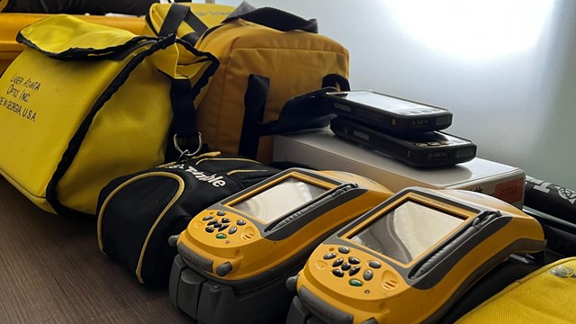
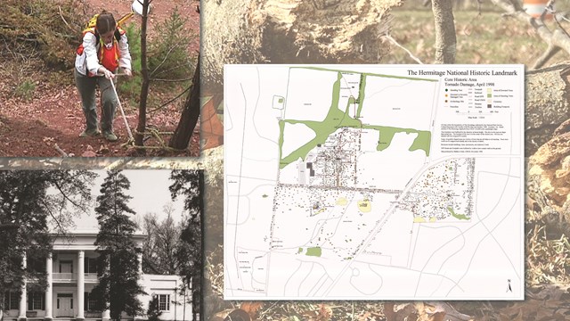
We are dedicated to fostering the application of GIS and GPS technologies in the realm of cultural resources and place-based heritage. From GPS surveying of historic sites to cartographic and spatial analysis, we offer extensive training, technical assistance, and mapping services to our partners and clients. Explore what we have been up to for the last 30 years by interacting with the map below to learn more about what we do. For inquires on training, services, or projects, please visit our CRGIS Training and Services page.
CRGIS Projects and Training
Learn more about CRGIS training and geospatial services.

CRGIS and Disaster Preparedness
Learn more about using cultural resources GIS for disaster preparedness.
Last updated: April 23, 2024

