Taken by Johnathan Fricker, LA Division of Historic Preservation. September 1983. NRHP Ref No. 66000377.
The National Register of Historic Places (NRHP) program is authorized by the National Hisoric Preservation Act of 1966. This program coordinates and supports efforts by both private and public communities to protect America’s historic, cultural, and archaeological resources while remaining dedicated to preservation. Under a formal agreement with the NRHP program, the Cultural Resources GIS Facility (CRGIS) helps to create, maintain, amend, update, and distribute GIS information and data representing these resources. The nearly 100,000 and counting listed properties on the National Register are in the spatial inventory and are compliant with the NPS Cultural Resources Spatial Data Transfer Standards.
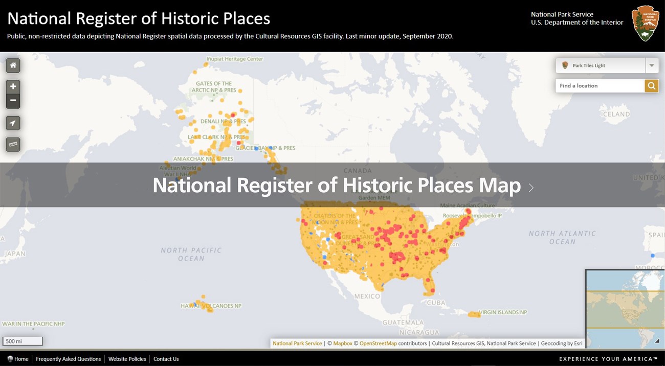
While the interest and importance of documenting all cultural resources listed on the NRHP is imperative, some sites reflect traditional, sensitive, or private connections to places. For this reason, any listing with secure geography is not available to the public. To explore unrestricted listings, interact with the map below. View Frequently asked Questions here.

Cultural Resources GIS Facility
Helpful Resources
Last updated: August 20, 2024
