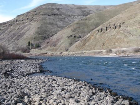
NPS Photo High elevation drainage basins have produced many cold, fast-running rivers, filled—especially in aboriginal times—with salmon and other fish. Flowing through the deep, sheltered valleys in the original Nez Perce territory, they include the Clearwater (himeqisbi’me), Grand Ronde (weli’we), Imnaha (imna’ha), Salmon (naco’oxkus), and Snake (piku’nen) rivers, the last one world-famous for the chasm of Hells Canyon (saqa’nma), the deepest gorge (2,400 meters/7,900 feet) in North America. The canyon, once a part of the Nez Perce homeland, is now the border between Idaho and Oregon and the principal feature of Hells Canyon National Recreation Area. 
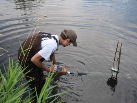
NPS photo There has been considerable publicity at the end of the twentieth century concerning how Nez Perce fishing has been restricted by dam construction, commercial logging, pollution, and commercial fishing. Specific threats to water resources at Nez Perce National Historical Park’s creeks include agriculture, logging, grazing, recreation, highway runoff and urbanization. The National Park Service has recently developed a regional science-based program that deals with inventory and monitoring of natural resources. Results indicate that park creeks (including Lapwai Creek [le’plep] and Jim Ford Creek) are within state regulatory thresholds. |
Last updated: August 30, 2020
