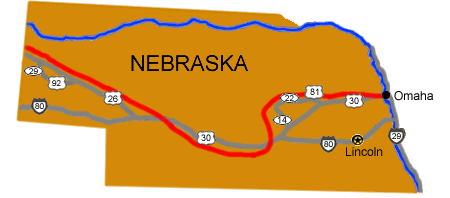
Turn by Turn Driving DirectionsTo follow the trail west from Council Bluffs, Iowa:
Total original route miles in Nebraska: 511 |
Last updated: April 23, 2025
Official websites use .gov
A
.gov website belongs to an official government
organization in the United States.
Secure .gov websites use HTTPS
A
lock (
) or https:// means you've safely connected to
the .gov website. Share sensitive information only on official,
secure websites.
Turn by Turn Driving DirectionsTo follow the trail west from Council Bluffs, Iowa:
Total original route miles in Nebraska: 511 |
Last updated: April 23, 2025