Top Attractions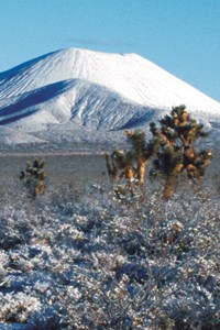
NPS Photo Cinder Cones & Lava FlowsNo services. 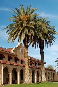
NPS Photo Kelso DepotInformation, exhibits, orientation film, art gallery, bookstore, restrooms, water, picnic area. Located 34 miles southeast of Baker, Kelso Depot began operation in 1924 and served as train station, restaurant, and employee housing on the Los Angeles and Salt Lake route of the Union Pacific Railroad. Today, it is Mojave National Preserve's primary information center and museum in this beautifully restored building. In the spring the trees in the picnic area bloom flowers. Click here to learn more about visitor centers at Mojave National Preserve. 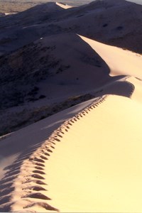
NPS photo Kelso DunesInterpretive exhibits, pit toilets, no water. About 42 miles southeast of Baker (7 miles south of Kelso Depot), then 3 miles west on a graded dirt road, Kelso Dunes were created over the course of 25,000 years by winds carrying sand grains from the dried Soda Lake and Mojave River Sink. Nearly 700 feet high and covering a 45-square-mile area, they are among the tallest and most extensive dune fields in the United States. 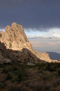
NPS Photo Granite MountainsNo signs or services.An imposing jumble of granite marks the south entrance to the preserve, 50 miles southeast of Baker on Kelbaker Road. Portions of the Granite Mountains lie within the University of California's Sweeney Granite Mountains Desert Research Center. The center is not open to the public, so please respect the signs that mark the boundary. There are however several backcountry routes in the Granite Mountains. High clearance and four-wheel drive recommended to reach those routes. 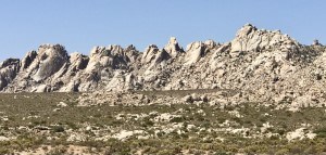
Mike Beer, NPS. Boulders ViewpointVisitors can enjoy the Granite Mountains at the Boulders Viewpoint Parking Area located 7 miles north of Interstate 40. Boulders Viewpoint Parking Area is also 50 miles south of Baker and Interstate 15. There are no services at this viewpoint. |
Last updated: September 27, 2024
