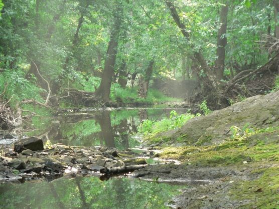
NPS Photo Manassas National Battlefield Park lies in the Potomac River watershed, part of the largest estuary in the United States, the Chesapeake Bay Watershed. A watershed is an area of land in which all water runoff and tributaries drain into a specific body of water. All of the water from the park, including streams, rivers, and storm runoff eventually contributes to the Chesapeake Bay, depositing all of the nutrients and chemicals it acquires along the way. The Chesapeake Bay watershed hosts over 100,000 tributaries that stretch through 64,000 square miles of land to flow into the bay. The water from the watershed mixes with the Atlantic Ocean in a partially enclosed body of water, called the Chesapeake Bay estuary. The mixture of freshwater and salt water forms brackish water that provides critical habitat for an array of plants and animals. Estuaries serve as the spawning and nursery grounds for many aquatic creatures. The underwater grass beds and shallow waters provide protection from predators for juveniles to mature safely. Migratory birds stop in estuaries to feed and rest in the wetlands and marshes during migration season. 
NPS Photo Manassas National Battlefield Park is located in the Piedmont physiographic province (Fennemann 1938), approximately 2.5 miles northwest of Manassas City and 26 miles west of Washington, D.C. Most of the Park is in eastern Prince William County, with a very small portion extending into Fairfax County. The park is situated in the Culpeper Basin, a large Mesozoic trough that stretches across the central Piedmont from Culpeper County north through Fauquier, Prince William, and Loudoun Counties into Maryland (Lee 1979). The Culpeper Basin is a distinctive regional landscape with relatively low relief and gently rolling to nearly level topography. The park is very representative of the region, with broad, low ridges, extensive upland "flats" and shallow, sluggish drainageways.
ReferencesFenneman, N.M. 1938. Physiography of the eastern United States. McGraw-Hill Book Company, New York. 714 pp. Fleming, G.P. and J.T. Weber. 2003. Inventory, classification, and map of forested ecological communities at Manassas National Battlefield Park, Virginia. Natural Heritage Tech. Rep. 03-7. Virginia Department of Conservation and Recreation, Division of Natural Heritage, Richmond. Unpublished report submitted to the National Park Service. 101 pp. plus appendix. Lee, K.Y. 1979. Triassic-Jurassic geology of the northern part of the Culpeper basin, Virginia and Maryland. U.S. Geological Survey Open-File Report 79-1557, 29 pp., 16 pl., scale: 1:24,000. |
Last updated: February 1, 2023
