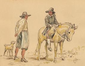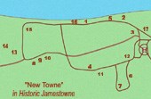
watercolor by NPS artist Sydney King Only a few days after arriving at Jamestown in May 1607, settler George Percy wrote that he and his party “espied a pathway” and were “desirous to knowe whither it would bring us.” What they were traversing was probably a trail used by the nearby Paspahegh Indians. It would become the “Greate Road” of the English, a route that led from James Forte across the isthmus to the west of Glasshouse Point on the mainland, where Polish and German craftsmen were to establish a glassblowing industry in 1608. Today, old road traces still exist at Glasshouse Point, likely sections of the Greate Road. On Jamestown Island, shallow depressions and slight mounds are all that remain to outwardly mark the course of this ancient highway. In 1939, a ridge on the west side of town was excavated and road traces found below the present ground line. Traffic had packed down the topsoil and created deep ruts; settlers would simply widen the road by driving their horses and oxen on either side of the original muddy and well-nigh impassible track. After the road became 30 or 35 feet wide, it was built up with layers of sand. More examples of this type of road use and maintenance were discovered in a 1941 excavation near the Memorial Church. In alignment with the earlier excavations and corresponding to documentary evidence, they allowed archeologists to locate a quarter of a mile of the Greate Road. As English settlement spread, the terminus of the Greate Road at Glasshouse Point would become the beginning of other roads leading to such familiar landmarks as Green Spring (home of Governor Sir William Berkeley) and Middle Plantation (later renamed Williamsburg). |
Last updated: February 26, 2015

