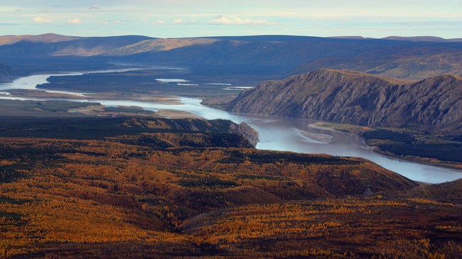
NPS Photo / Ken Hill
Overview
Yukon-Charley Rivers National Preserve encompasses 2,523,509 acres along the Canadian border in central Alaska. It includes the entire Charley River drainage as well as roughly 130 miles of the Yukon River. It is characterized by boreal forests that transition through steep mountain slopes to alpine tundra. The elevations range from 183 meters along the Yukon River to over 2,000 meters in the mountains.This project presents a plant association classification for Yukon-Charley Rivers National Preserve and describes boreal forest successional trajectories following fire. The classification and successional trajectories provide resource managers with essential information to understand the vegetation and ecology of Yukon-Charley Rivers National Preserve. This project also lists vascular plant species identified during the project, a review of the Preserve’s ecological literature, a description of the climate and geology, and the project’s methods.
Products
The products of vegetation mapping projects are stored and managed in the National Park Service's Data Store, a repository for documents and publications relating to park resources. From the highlighted items below, click on the type of information you are looking for.
Last updated: July 23, 2018
