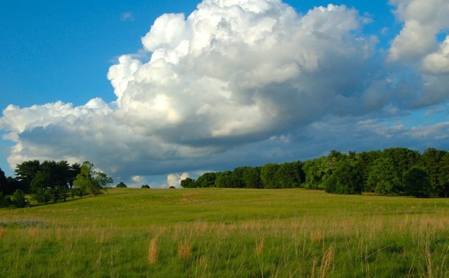
NPS Photo
Overview
Valley Forge National Historical Park is an oasis of open space consisting of 3500 acres (1416ha) of fields and forest surrounded by residential development and transportation corridors. The vegetation within the park is influenced by many factors, especially the underlying geology, the Schuylkill River and human activity. The diversity of plant life that inhabits Valley Forge National Historical Park is directly related to the geology and hydrology of the area. Over 730 species of plants are known to occur within the park. Grasslands, shrublands, woodlands, forests, ornamental plantings, and croplands can be found throughout the park.The Valley Forge National Historical Park Vegetation Inventory Project delivers many geospatial and vegetation data products, including an in-depth project report discussing methods and results, which include descriptions to vegetation associations, field keys to vegetation associations, map classification, and map-class descriptions. The suite of products also includes a database of vegetation plots, and accuracy assessment (AA) sites; digital images of field sites; digital aerial imagery; digital maps; a contingency table listing AA results; and a geodatabase of vegetation, field sites (vegetation plots, and AA sites), aerial imagery, project boundary, and metadata.
Products
The products of vegetation mapping projects are stored and managed in the National Park Service's Data Store, a repository for documents and publications relating to park resources. From the highlighted items below, click on the type of information you are looking for.
Last updated: October 19, 2018
