NPS Photo
Overview
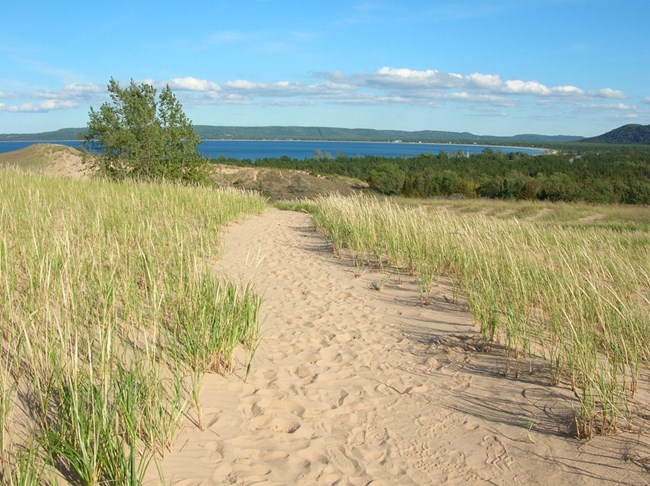
The vegetation of Sleeping Bear Dunes National Lakeshore is as varied as is the habitat and weather of the park. Plants growing in the sandy dunes and beaches have adaptations for surviving the extremes of hot, dry conditions, wind and blowing sand. All of the plants have a growth advantage in the maritime climate due to the nearness of Lake Michigan. The waters of Lake Michigan, warmed by the summer sun, moderate the weather and lengthen the growing season. The large body of water keeps the air cooler in summer, warmer in winter, and wetter throughout the year. The moist air contributes to the heavy snows that can blanket the ground in winter.The Sleeping Bear Dunes National Lakeshore Vegetation Inventory Project delivers many geospatial and vegetation data products, including an in-depth project report discussing methods and results, which include descriptions to vegetation associations, field keys to vegetation associations, map classification, and map-class descriptions. The suite of products also includes a database of vegetation plots, and accuracy assessment (AA) sites; digital images of field sites; digital aerial imagery; digital maps; a contingency table listing AA results; and a geodatabase of vegetation, field sites (vegetation plots, and AA sites), aerial imagery, project boundary, and metadata.
Products
The products of vegetation mapping projects are stored and managed in the National Park Service's Data Store, a repository for documents and publications relating to park resources. From the highlighted items below, click on the type of information you are looking for.
Last updated: October 19, 2018
