NPS Photo
Overview
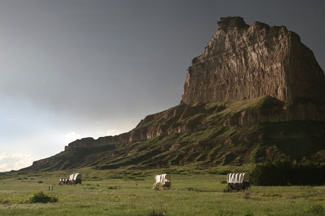
Four hundred fifty-two species, subspecies, and varieties of vascular plants have been identified at Scotts Bluff National Monument. The vegetation is divided into three major plant associations: the moderately dense mixed-grass prairie, the ponderosa pine/Rocky Mountain juniper/eastern red cedar forests, and the hardwood association along the floodplain of the North Platte River. Within these plant associations can be further found seven major habitat types: riverine woodland, coniferous woodland, mixed-grass prairie, riparian habitat associated with irrigation canals, pine-studded bluffs, shrub-dominated slopes, and badlands.The Scotts Bluff National Monument Vegetation Inventory Project delivers many geospatial and vegetation data products, including an in-depth project report discussing methods and results, which include descriptions to vegetation associations, field keys to vegetation associations, map classification, and map-class descriptions. The suite of products also includes a database of vegetation plots, and accuracy assessment (AA) sites; digital images of field sites; digital aerial imagery; digital maps; a contingency table listing AA results; and a geodatabase of vegetation, field sites (vegetation plots, and AA sites), aerial imagery, project boundary, and metadata.
Products
The products of vegetation mapping projects are stored and managed in the National Park Service's Data Store, a repository for documents and publications relating to park resources. From the highlighted items below, click on the type of information you are looking for.
Last updated: October 19, 2018
