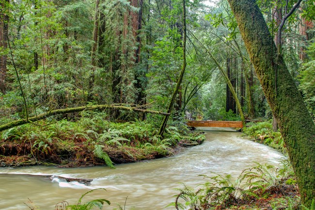
NPS Photo / Kirke Wench
Overview
Point Reyes National Seashore was established in 1962 and encompasses approximately 71,000 acres of diverse habitats, including grasslands, coastal scrub, broadleaved evergreen woodlands and coniferous forests. Golden Gate National Recreation Area, established in 1983, covers over 76,000 acres of land, including extensive stands of chaparral, coastal scrub, grasslands, broadleaved woodlands, and old growth redwood forests. Muir Woods National Monument is completely surrounded by Mt. Tamalpais State Park and occupies the majority of the watershed for Redwood Creek. On lower north and east trending slopes, extensive stands of old-growth redwood and Douglas-fir forests still exist. These parks' Mediterranean climate-with mild, wet winters and extended, dry summers-encourage plants to adapt to long seasons without rain. They are located in the center of the California Floristic Province, one of only five regions in the world with this kind of Mediterranean climate, which are home to high floral diversity and unique assemblages rivaled only by the equatorial rainforests. The unique geology, soils, and climate conditions make for a highly variable landscape within a relatively small land base.The Point Reyes National Seashore, Golden Gate National Recreation Area, Fort Point Historical Site and Muir Woods National Monument Vegetation Inventory Project delivers many geospatial and vegetation data products, including an in-depth project report discussing methods and results, which include descriptions to vegetation associations, field keys to vegetation associations, map classification, and map-class descriptions. The suite of products also includes a database of vegetation plots, and accuracy assessment (AA) sites; digital images of field sites; digital aerial imagery; digital maps; a contingency table listing AA results; and a geodatabase of vegetation, field sites (vegetation plots, and AA sites), aerial imagery, project boundary, and metadata.
Products
The products of vegetation mapping projects are stored and managed in the National Park Service's Data Store, a repository for documents and publications relating to park resources. From the highlighted items below, click on the type of information you are looking for.
Last updated: October 3, 2018
