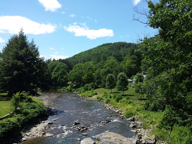
NPS Photo
Overview
Marsh-Billings-Rockefeller National Historical Park lies on the northern edge of Woodstock village in the Ottauquechee Valley of east central Vermont. This area is at the southern limit of the Northern Appalachian - Boreal Forest ecoregion where it abuts the Lower New England / Northern Piedmont ecoregion. While largely forested at present, Marsh-Billings-Rockefeller National Historical Park is a combination of several old farms which contained pastures, fields, and woodlots. The current forest is dominated by a mix of northern hardwood and hemlock forest types, with a few small wetlands and one prominent artificial pond. A number of forest plantations were established from the late 1800s through the first few decades of the 1900s.The Marsh-Billings-Rockefeller National Historical Park Vegetation Inventory Project delivers many geospatial and vegetation data products, including an in-depth project report discussing methods and results, which include descriptions to vegetation associations, field keys to vegetation associations, map classification, and map-class descriptions. The suite of products also includes a database of vegetation plots, and accuracy assessment (AA) sites; digital images of field sites; digital aerial imagery; digital maps; a contingency table listing AA results; and a geodatabase of vegetation, field sites (vegetation plots, and AA sites), aerial imagery, project boundary, and metadata.
Products
The products of vegetation mapping projects are stored and managed in the National Park Service's Data Store, a repository for documents and publications relating to park resources. From the highlighted items below, click on the type of information you are looking for.
Last updated: October 18, 2018
