NPS Photo
Overview
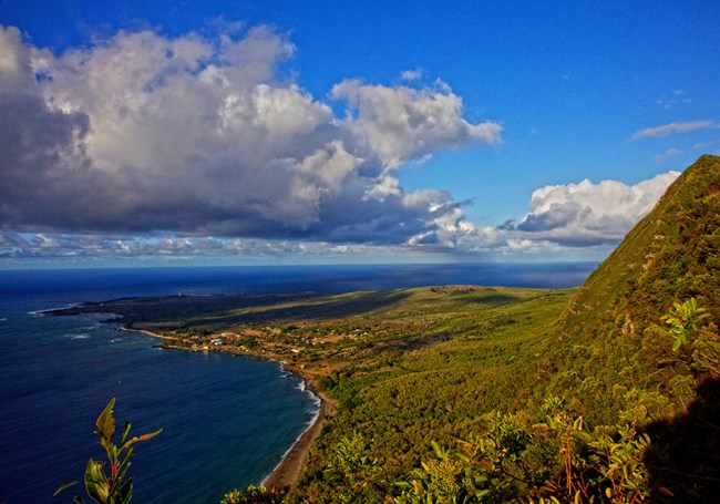
Kalaupapa National Historical Park protects habitats ranging from the ocean to the upland rain forest. The park’s boundary extends for a quarter mile offshore and includes 2,000 acres of ocean, two small islands and wet shorelines. All support a wealth of fish and wildlife resources. Nearly 20 federally-listed threatened and endangered species of plants and animals have been identified within the park. On the small islands of `Okala and Huelo are found loulu palms, the only native genus of palms, and the endemic pua`ala, which can be found only on the sea cliffs and off shore islands of Moloka`i from Kalaupapa east to Halawa.The Kalaupapa National Historical Park Vegetation Inventory Project delivers many geospatial and vegetation data products, including an in-depth project report discussing methods and results, which include descriptions to vegetation associations, field keys to vegetation associations, map classification, and map-class descriptions. The suite of products also includes a database of vegetation plots, and accuracy assessment (AA) sites; digital images of field sites; digital aerial imagery; digital maps; a contingency table listing AA results; and a geodatabase of vegetation, field sites (vegetation plots, and AA sites), aerial imagery, project boundary, and metadata.
Products
The products of vegetation mapping projects are stored and managed in the National Park Service's Data Store, a repository for documents and publications relating to park resources. From the highlighted items below, click on the type of information you are looking for.
Last updated: November 8, 2018
