NPS Photo
Overview
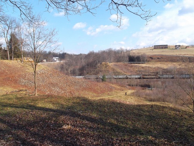
The Johnstown Flood National Memorial contains a mix of wetlands, wet meadows, and forest habitats. The wetlands are found in the historic, former lakebed near the banks of the South Fork of the Little Conemaugh River. Wet meadows fill the remainder of what was once Conemaugh Lake. Some of the native wetland and wet meadow plants include steeplebush, blue vervain, monkey flower, and boneset. The slopes above the former lakebed are forested, with black cherry and oak trees forming a canopy over understory plants such as alternate leaved dogwood, violets, and ferns.The Johnstown Flood National Memorial Vegetation Inventory Project delivers many geospatial and vegetation data products, including an in-depth project report discussing methods and results, which include descriptions to vegetation associations, field keys to vegetation associations, map classification, and map-class descriptions. The suite of products also includes a database of vegetation plots, and accuracy assessment (AA) sites; digital images of field sites; digital aerial imagery; digital maps; a contingency table listing AA results; and a geodatabase of vegetation, field sites (vegetation plots, and AA sites), aerial imagery, project boundary, and metadata.
Products
The products of vegetation mapping projects are stored and managed in the National Park Service's Data Store, a repository for documents and publications relating to park resources. From the highlighted items below, click on the type of information you are looking for.
Last updated: October 15, 2018
