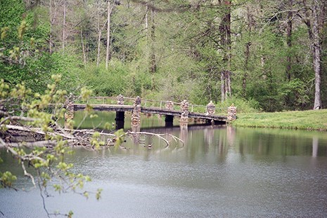
NPS Photo
Overview
Hot Springs National Park surrounds the north end of the city of Hot Springs with a population of 33,000. Outside of the Bathhouse Row National Historic Landmark District, Hot Springs National Park is primarily forested hills and valleys. Although some park boundaries are bordered by undeveloped forested lands, much of the park is adjacent to city streets and homes.The oak-hickory-pine forest type includes many other tree and shrub species. Wildflowers and blooming trees are especially notable in spring, while autumn brings many bright colors of leaves.The Hot Springs National Park Vegetation Inventory Project delivers many geospatial and vegetation data products, including an in-depth project report discussing methods and results, which include descriptions to vegetation associations, field keys to vegetation associations, map classification, and map-class descriptions. The suite of products also includes a database of vegetation plots, and accuracy assessment (AA) sites; digital images of field sites; digital aerial imagery; digital maps; a contingency table listing AA results; and a geodatabase of vegetation, field sites (vegetation plots, and AA sites), aerial imagery, project boundary, and metadata.
Products
The products of vegetation mapping projects are stored and managed in the National Park Service's Data Store, a repository for documents and publications relating to park resources. From the highlighted items below, click on the type of information you are looking for.
Last updated: October 11, 2018
