NPS Photo
Overview
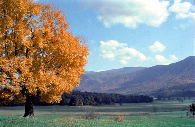
Great Smoky Mountains National Park is one of the most pristine natural areas in the East. Variations in elevation, rainfall, temperature, and geology in these ancient mountains provide ideal habitat for over 1,600 species of flowering plants, including 100 native tree species and over 100 native shrub species. The park is also a global center for non-flowering plants, including 450 bryophytes-mosses, liverworts, and a few hornworts. Non-flowering species also include some 50 ferns and fern allies and at least one horsetail. The Park, including the Foothills Parkway, covers nearly 211,000 hectares in the Southern Appalachian Mountains of North Carolina and Tennessee.The Great Smoky Mountains National Park Vegetation Inventory Project delivers many geospatial and vegetation data products, including an in-depth project report discussing methods and results, which include descriptions to vegetation associations, field keys to vegetation associations, map classification, and map-class descriptions. The suite of products also includes a database of vegetation plots, and accuracy assessment (AA) sites; digital images of field sites; digital aerial imagery; digital maps; a contingency table listing AA results; and a geodatabase of vegetation, field sites (vegetation plots, and AA sites), aerial imagery, project boundary, and metadata.
Products
The products of vegetation mapping projects are stored and managed in the National Park Service's Data Store, a repository for documents and publications relating to park resources. From the highlighted items below, click on the type of information you are looking for.
Last updated: September 21, 2021
