NPS Photo
Overview
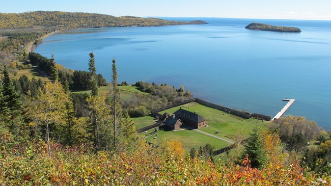
Grand Portage National Monument is listed on the National Register of Historic Places as nationally significant for its, "…association with the fur trade and exploration and colonization of the northwest, its historic/geographic link between the United States and Canada, and its excellent state of preservation in a semi-wilderness setting." The historic Grand Portage footpath preserves an important component of the largest terrestrial ecosystem in the world, the boreal forest (the Laurentian Mixed Forest Province of Minnesota). This forest of evergreen and broadleaf trees encircles the earth below the treeless tundra of the polar north and above the broadleaf forest to the south. The 8.5 mile portage corridor and Fort Charlotte (639 acres) contain the majority of the Monument's semi-wilderness setting.The Grand Portage National Monument Vegetation Inventory Project delivers many geospatial and vegetation data products, including an in-depth project report discussing methods and results, which include descriptions to vegetation associations, field keys to vegetation associations, map classification, and map-class descriptions. The suite of products also includes a database of vegetation plots, and accuracy assessment (AA) sites; digital images of field sites; digital aerial imagery; digital maps; a contingency table listing AA results; and a geodatabase of vegetation, field sites (vegetation plots, and AA sites), aerial imagery, project boundary, and metadata.
Products
The products of vegetation mapping projects are stored and managed in the National Park Service's Data Store, a repository for documents and publications relating to park resources. From the highlighted items below, click on the type of information you are looking for.
Last updated: October 10, 2018
