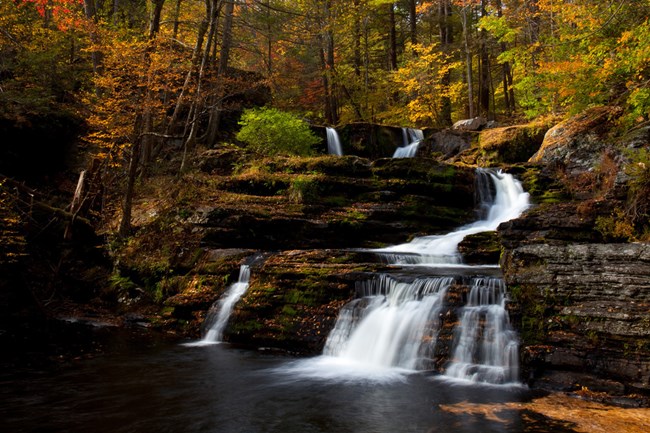
NPS Photo
Overview
The variety of soil types, differences in sun and shade, and variations in moisture create hundreds of micro-habitats and allow Delaware Water Gap to support diverse communities of plants. Delaware Water Cap is home to dark hemlock ravines, hardwood forests, cactus barrens, and aquatic habitats. Additiontionally, the recreation area has nearly 3,000 acres in agricultural production.The Delaware Water Gap National Recreation Area Vegetation Inventory Project delivers many geospatial and vegetation data products, including an in-depth project report discussing methods and results, which include descriptions to vegetation associations, field keys to vegetation associations, map classification, and map-class descriptions. The suite of products also includes a database of vegetation plots, and accuracy assessment (AA) sites; digital images of field sites; digital aerial imagery; digital maps; a contingency table listing AA results; and a geodatabase of vegetation, field sites (vegetation plots, and AA sites), aerial imagery, project boundary, and metadata.
Products
The products of vegetation mapping projects are stored and managed in the National Park Service's Data Store, a repository for documents and publications relating to park resources. From the highlighted items below, click on the type of information you are looking for.
Last updated: September 19, 2018
