NPS Photo
Overview
Despite its reputation as a lifeless wasteland, Death Valley National Park contains a great diversity of plants. The park covers over 3 million acres of Mojave and Great Basin desert terrain. With over 11,000 feet of elevation change, and annual precipitation varying from 1.9 inches on the valley floor to over 15 inches in the higher mountains, there are a variety of different environments within the park for a great diversity of plants to thrive!
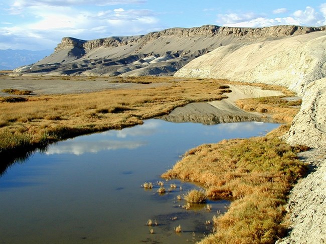
Vegetation zones include creosote bush, desert holly, and mesquite at the lower elevations up through shadscale, blackbrush, Joshua tree, pinyon-juniper, to sub-alpine limber pine and bristlecone pine woodlands. The saltpan is devoid of vegetation, and the rest of the valley floor and lower slopes have sparse cover, yet where water is available, an abundance of vegetation is usually present.
The Death Valley National Park Vegetation Inventory Project delivers many geospatial and vegetation data products, including an in-depth project report discussing methods and results, which include descriptions to vegetation associations, field keys to vegetation associations, map classification, and map-class descriptions. The suite of products also includes a database of vegetation plots, and accuracy assessment (AA) sites; digital images of field sites; digital aerial imagery; digital maps; a contingency table listing AA results; and a geodatabase of vegetation, field sites (vegetation plots, and AA sites), aerial imagery, project boundary, and metadata.
ProductsThe products of vegetation mapping projects are stored and managed in the National Park Service's Data Store, a repository for documents and publications relating to park resources. From the highlighted items below, click on the type of information you are looking for.
Last updated: December 20, 2024
