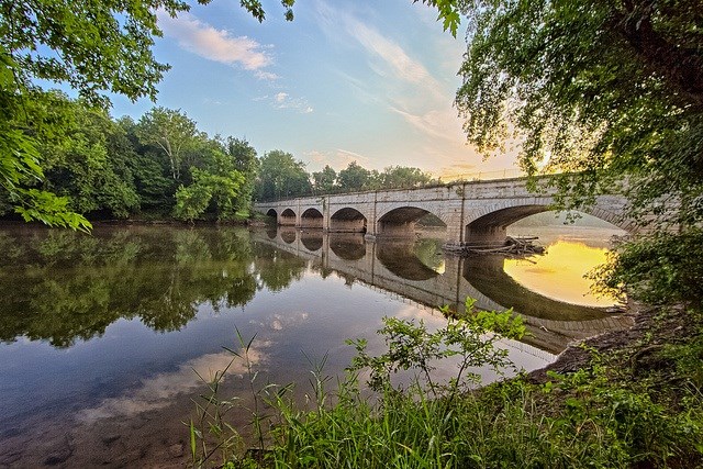
NPS Photo
Overview
Chesapeake & Ohio Canal National Historical Park is one of eleven parks inventoried in the National Captial Region Vegetation Inventory Project in Maryland, Virginia, West Virginia and the District of Columbia. Chesapeake & Ohio Canal National Historical Park encompasses 9,045 hectares in Maryland and DC, following the Potomac River across the Ridge and Valley, Blue Ridge, Northern Peidmont and Coastal Plain ecological regions. Much of river edge consists of lowand and floodplain forest, and upland forests in high elevations away from flowing water.The National Capital Region Parks Vegetation Inventory Project delivers many geospatial and vegetation data products, including an in-depth project report discussing methods and results, which include descriptions to vegetation associations, field keys to vegetation associations, map classification, and map-class descriptions. The suite of products also includes a database of vegetation plots, and accuracy assessment (AA) sites; digital images of field sites; digital aerial imagery; digital maps; a contingency table listing AA results; and a geodatabase of vegetation, field sites (vegetation plots, and AA sites), aerial imagery, project boundary, and metadata.
Products
The products of vegetation mapping projects are stored and managed in the National Park Service's Data Store, a repository for documents and publications relating to park resources. From the highlighted items below, click on the type of information you are looking for.
Last updated: July 23, 2024
