NPS Photo / Sally King
Overview
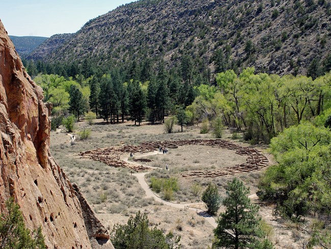
Bandelier National Monument harbors world-renowned archeological sites in an ecologically complex landscape. The same unusual volcanic tuff cliffs and mesas that were home to the Ancestral Pueblo peoples also gave rise to diverse vegetation communities that now provide habitat and forage for a plethora of wildlife as well as exceptional recreational opportunities for park visitors.The Bandelier National Monument vegetation mapping project delivers many geospatial and vegetation data products, including an in-depth project report discussing methods and results, which include descriptions to vegetation associations, field keys to vegetation associations, map classification, and map-class descriptions. The suite of products also includes a database of vegetation plots, verification sites, validation sites, and accuracy assessment (AA) sites; digital images of field sites; field data sheets; digital aerial imagery; hardcopy and digital maps; a contingency table listing AA results; and a geodatabase of vegetation and land cover (map layer), field sites (vegetation plots, verification sites, validation sites, and AA sites), aerial imagery index, project boundary, and metadata.
Products
The products of vegetation mapping projects are stored and managed in the National Park Service's Data Store, a repository for documents and publications relating to park resources. From the highlighted items below, click on the type of information you are looking for.
Last updated: October 16, 2018
