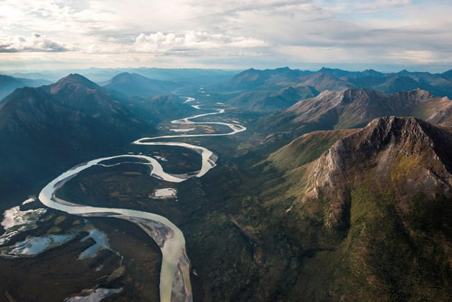
NPS Photo / Sean Tevebaugh
Overview
The Arctic Network collects, compiles and synthesizes scientific information about national parks in northwestern Alaska in order to facilitate their preservation, unimpaired, for future generations. This project provides the results of a eight-year effort (2002–2009) to survey, compile, analyze, and map ecosystems across the five parks of the Arctic Network in Alaska, including Gates of the Arctic National Park and Preserve (GAAR), Noatak National Preserve (NOAT), Kobuk Valley National Park (KOVA), Cape Krusenstern National Monument (CAKR), and Bering Land Bridge Park and Preserve (BELA).Vegetation in this region include black-spruce forests called taiga which dot north-facing slopes and poorly drained lowland. Boreal forests of white spruce, aspen, and birch typically are found on south-facing slopes. Near tree line, the shrub-thicket community of dwarf and resin birch, alder, and willow appears. Heath, moss, and fragile lichen make up the understory. Alpine tundra communities occur in mountainous areas and along well-drained, rocky ridges. Alder thickets and tussocks in valleys and on slopes often impede hiking in the Arctic.
Products
The products of vegetation mapping projects are stored and managed in the National Park Service's Data Store, a repository for documents and publications relating to park resources. From the highlighted items below, click on the type of information you are looking for.
Last updated: July 17, 2018
