NPS Photo
Overview
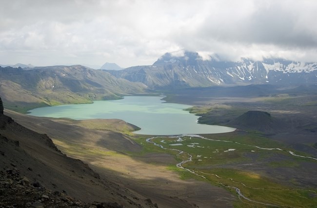
Aniakchak and its six and half mile (10.4 km) wide caldera was unknown to all but area Natives until the 1920s. Aniakchak's 1931 eruption left a barren landscape with little or no vegetation, but plant communities now have made impressive comebacks. This recovery and succession process is of great interest to scientists concerned with after-effects of volcanic eruptions.
The vegetation classification system for Aniakchak National Monument and Preserve is a two tiered system composed of a landcover map (earth cover classes) and plant associations. Twenty-four vegetated earth cover classes were mapped using 30M TM imagery within Aniakchak National Monument and Preserve. Earth cover classes represent coarse-scale vegetation map units based on the Alaska Vegetation Classification levels II through IV. Plant associations represent the finest level of community classification of both the Alaska Vegetation Classification and the National Vegetation Classification Standard.
Products
The products of vegetation mapping projects are stored and managed in the National Park Service's Data Store, a repository for documents and publications relating to park resources. From the highlighted items below, click on the type of information you are looking for.
Last updated: May 2, 2022
