NPS Photo
Overview
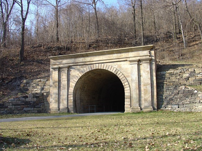
Allegheny Portage Railroad National Historic Site is located in the Allegheny Mountains between Johnstown and Hollidaysburg, Pennsylvania. The Allegheny Portage Railroad played a vital role in the nation's industrialization during the first half of the nineteenth century by linking Philadelphia and the eastern seabord to Pittsburgh and the midwest. Ten inclined planes allowed the railroad to overcome steep grades along the rugged terrain of the Allegheny Mountains, as boats from the Pennsylvania Mainline Canal were portaged over the mountains.
Vegetation classification and mapping was conducted at Allegheny Portage Railroad National Historic Site, creating a current digital geospatial vegetation database for the park. Sixteen vegetation association that occur within the park were identified and described in detail: Alder Riverine Shrubland, Allegheny Hardwood Forest, Conifer Plantation, Dry Eastern Hemlock - Oak Forest, Eastern Hemlock - Northern Hardwood Forest, Eastern Hemlock - Tuliptree - Birch Forest, Japanese or Giant Knotweed Herbaceous Vegetation, Modified Successional Forest, Northern Hardwood Forest, Northern Red Oak - Northern Hardwood Forest, Reed Canarygrass Riverine Grassland, Sparsely Vegetated Cliff, Successional Old Field, Sugar Maple Floodplain Forest, Tuliptree - Beech - Maple Forest, and Wet Meadow. These vegetation types are strongly influenced by the varied environmental settings and land use history of the park.
Products
The products of vegetation mapping projects are stored and managed in the National Park Service's Data Store, a repository for documents and publications relating to park resources. From the highlighted items below, click on the type of information you are looking for.
Last updated: September 20, 2018
