NPS Photo
Overview
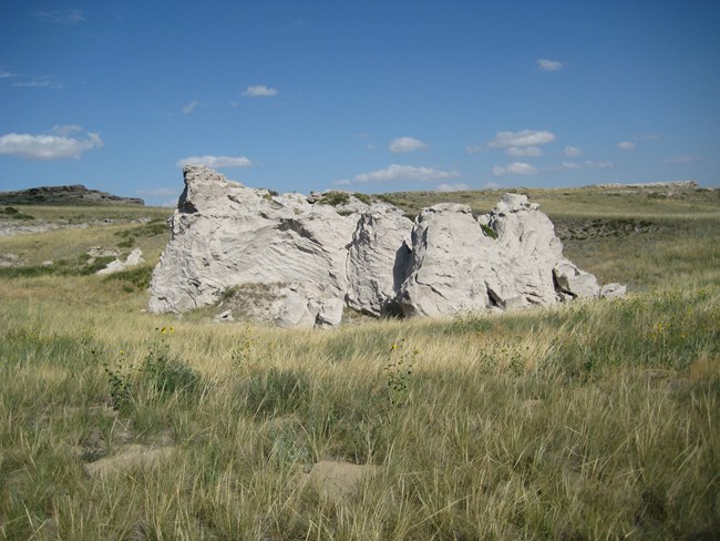
Agate Fossil Beds National Monument lies amidst the expanse of Sioux County, one of the largest counties in western Nebraska and where cattle ranching is the main occupation. Vast open spaces with a sparse population characterizes the region.
This project presents the results of the vegetation classification portion of the USGS-NPS Vegetation Mapping Program at Agate Fossil Beds National Monument. Sampling strategy and field methods are described for both plot and accuracy assessment sampling in the products. The vegetation classification, field key to the vegetation types, and descriptions of each type are also included. The raw plot data and accuracy assessment points are included as original field forms and in electronic form in the PLOTS database. Vegetation classification defined 13 vegetation types in the park, including one woodland type, two shrubland types, and 10 herbaceous types. Accuracy assessment of the final map was 99%.
Products
The products of vegetation mapping projects are stored and managed in the National Park Service's Data Store, a repository for documents and publications relating to park resources. From the highlighted items below, click on the type of information you are looking for.
Last updated: September 19, 2018
