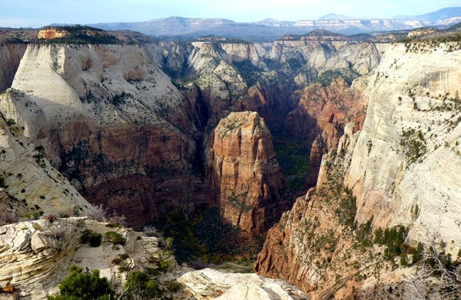
NPS Photo
Overview
With elevations ranging from roughly 3,700 to 8,700 feet, Zion National Park has a diversity of plant communities, supporting more than 1,000 species of plants. Changing elevations, temperature ranges, and varying amounts of sun and water create a mosaic of habitats within the park. The species that can be found here are influenced by nearby areas, including the Colorado Plateau, Basin and Range, and Mojave Desert. There are 5 major communities in the Park: riparian and aquatic, grasslands and desert shrubs, pinyon-juniper forest, ponderosa pine, and mixed conifer/aspen forest.The Zion National Park Vegetation Inventory Project delivers many geospatial and vegetation data products, including an in-depth project report discussing methods and results, which include descriptions to vegetation associations, field keys to vegetation associations, map classification, and map-class descriptions. The suite of products also includes a database of vegetation plots, and accuracy assessment (AA) sites; digital images of field sites; digital aerial imagery; digital maps; a contingency table listing AA results; and a geodatabase of vegetation, field sites (vegetation plots, and AA sites), aerial imagery, project boundary, and metadata.
Products
The products of vegetation mapping projects are stored and managed in the National Park Service's Data Store, a repository for documents and publications relating to park resources. From the highlighted items below, click on the type of information you are looking for.
Last updated: October 31, 2018
