NPS Photo
Overview
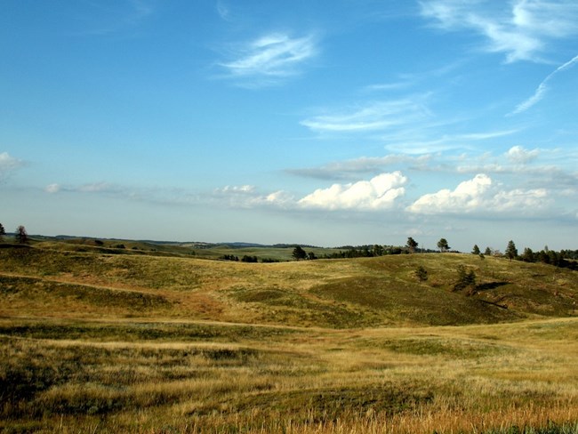
Wind Cave National Park's vegetation can be divided into two major types, ponderosa pine forest and mixed grass prairie. Ponderosa pine forest comprises almost 30% of the Park and typically grows in the higher elevations; it is the dominant tree and is occasionally observed with birch, aspen, and white spruce. Other major vegetation types at the Park and its surrounding area include hardwood drainages dominated by boxelder, green ash and elm with occasional stands of other hardwoods, mountain mahogany shrublands, several shrubby draw types, riparian/wet meadow vegetation, and prairie dog towns.The Wind Cave National Park Vegetation Inventory Project delivers many geospatial and vegetation data products, including an in-depth project report discussing methods and results, which include descriptions to vegetation associations, field keys to vegetation associations, map classification, and map-class descriptions. The suite of products also includes a database of vegetation plots, and accuracy assessment (AA) sites; digital images of field sites; digital aerial imagery; digital maps; a contingency table listing AA results; and a geodatabase of vegetation, field sites (vegetation plots, and AA sites), aerial imagery, project boundary, and metadata.
Products
The products of vegetation mapping projects are stored and managed in the National Park Service's Data Store, a repository for documents and publications relating to park resources. From the highlighted items below, click on the type of information you are looking for.
Last updated: October 31, 2018
