NPS Photo
Overview
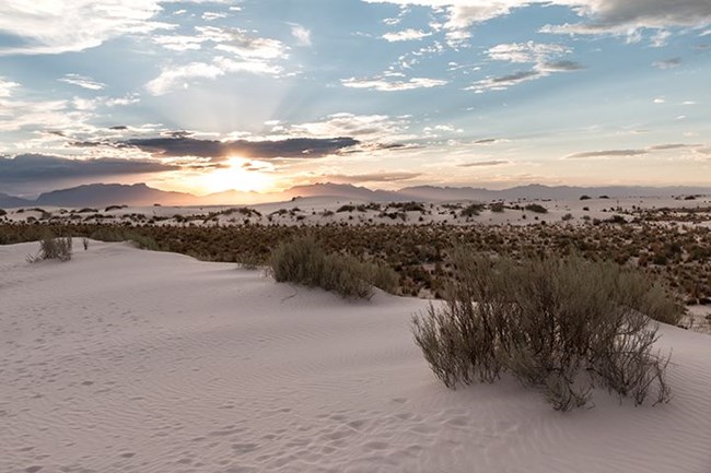
White Sands National Park, located in the Chihuahuan Desert, protects the largest gypsum dunefield in the world. Upon first glance, this enormous dunefield may seem barren and empty—full of nothing but shifting white sand. In reality, however, White Sands National Park is home to a wide variety of natural features and ecosystems, including Lake Lucero and other playas, unique hydrology, and living soils. Plants play a critical role in the ecosystem of White Sands National Park. They stabilize the leading edges of the dunes and provide both food and shelter for wildlife. Many of these plants can tolerate the high soil concentrations of salt present in the park, while others (known as gypsophiles) absolutely thrive in these conditions.The White Sands National Monument Vegetation Inventory Project delivers many geospatial and vegetation data products, including an in-depth project report discussing methods and results, which include descriptions to vegetation associations, field keys to vegetation associations, map classification, and map-class descriptions. The suite of products also includes a database of vegetation plots, and accuracy assessment (AA) sites; digital images of field sites; digital aerial imagery; digital maps; a contingency table listing AA results; and a geodatabase of vegetation, field sites (vegetation plots, and AA sites), aerial imagery, project boundary, and metadata.
Products
The products of vegetation mapping projects are stored and managed in the National Park Service's Data Store, a repository for documents and publications relating to park resources. From the highlighted items below, click on the type of information you are looking for.
Last updated: December 4, 2020
