NPS Photo
Overview
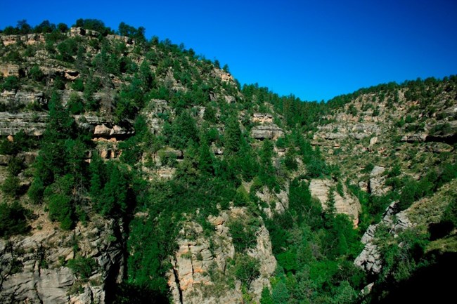
Starting out from Walnut Canyon National Monument, the landscape is pinyon pine/juniper, then expansive ponderosa pine forest, part of the largest contiguous such forest in the world. Volcanic mountains form a scenic backdrop and high elevation meadows appear occasionally along the way. At Walnut Canyon, several of these plant communities overlap, bringing together species that are usually widely separated, and creating a rare compression of flora/fauna zones within a small area. Plant surveys have identified at least 387 different species, and this number is likely to increase as more studies are completed. This biodiversity includes a high concentration of sensitive species and probably contributed to the decision by prehistoric people to settle here.The Walnut Canyon National Monument Vegetation Inventory Project delivers many geospatial and vegetation data products, including an in-depth project report discussing methods and results, which include descriptions to vegetation associations, field keys to vegetation associations, map classification, and map-class descriptions. The suite of products also includes a database of vegetation plots, and accuracy assessment (AA) sites; digital images of field sites; digital aerial imagery; digital maps; a contingency table listing AA results; and a geodatabase of vegetation, field sites (vegetation plots, and AA sites), aerial imagery, project boundary, and metadata.
Products
The products of vegetation mapping projects are stored and managed in the National Park Service's Data Store, a repository for documents and publications relating to park resources. From the highlighted items below, click on the type of information you are looking for.
Last updated: October 19, 2018
