NPS Photo
Overview
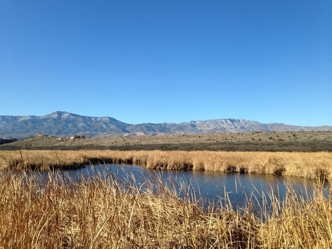
Because of the many landforms found in and around Tuzigoot National Monument, the area contains a high diversity of plant life. The riparian corridor along the Verde River hosts water-living species such as cottonwood, sycamore, willow, cattails, and the invasive tamarisk. Due to the lack of sufficient flood events in recent years, an ever-increasing amount of vegetation grows is what would normally be a boulder-strewn floodplain. These plants place an extra demand on the water flowing in the Verde River. Above the riparian zone on the benchlands subject to infrequent flooding lies a mesquite bosque, an almost impenetrable thicket of trees winding around the south side of Tuzigoot blending into the cattails at the edge of Tavasci Marsh to the east.The Tuzigoot National Monument Vegetation Inventory Project delivers many geospatial and vegetation data products, including an in-depth project report discussing methods and results, which include descriptions to vegetation associations, field keys to vegetation associations, map classification, and map-class descriptions. The suite of products also includes a database of vegetation plots, and accuracy assessment (AA) sites; digital images of field sites; digital aerial imagery; digital maps; a contingency table listing AA results; and a geodatabase of vegetation, field sites (vegetation plots, and AA sites), aerial imagery, project boundary, and metadata.
Products
The products of vegetation mapping projects are stored and managed in the National Park Service's Data Store, a repository for documents and publications relating to park resources. From the highlighted items below, click on the type of information you are looking for.
Last updated: October 19, 2018
