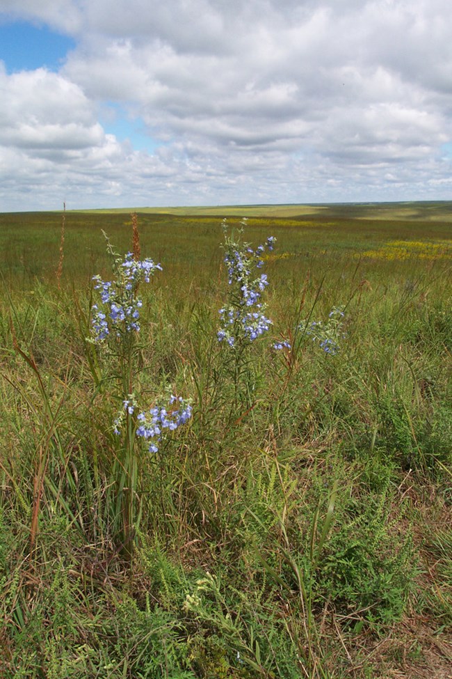
NPS Photo
Overview
Tallgrass Prairie National Preserve, established November 12, 1996, is the only unit of the National Park System dedicated to the rich natural and cultural history of the tallgrass prairie ecosystem. This 10,894 acre portion of the once vast tallgrass prairie is being preserved as a critical resource for the benefit, education, and enjoyment of this and future generations. Tallgrass prairies are an extremely complicated web of life. At first sight, one sees a landscape dominated by grasses. Eighty percent of the foliage is indeed made up of grasses, from 40 to 60 different species. The other 20% of the primary vegetation is made up of over 300 species of forbs or flowers. The prairie also has over 100 species of lichens and liverworts as well as numerous species of woody trees and shrubs along creeks and protected areas.The Tallgrass Prairie National Preserve Vegetation Inventory Project delivers many geospatial and vegetation data products, including an in-depth project report discussing methods and results, which include descriptions to vegetation associations, field keys to vegetation associations, map classification, and map-class descriptions. The suite of products also includes a database of vegetation plots, and accuracy assessment (AA) sites; digital images of field sites; digital aerial imagery; digital maps; a contingency table listing AA results; and a geodatabase of vegetation, field sites (vegetation plots, and AA sites), aerial imagery, project boundary, and metadata.
Products
The products of vegetation mapping projects are stored and managed in the National Park Service's Data Store, a repository for documents and publications relating to park resources. From the highlighted items below, click on the type of information you are looking for.
Last updated: October 19, 2018
