NPS Photo
Overview
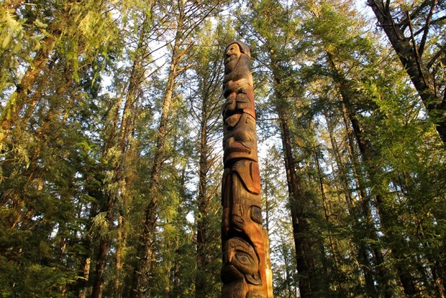
On an island amid towering spruce and hemlock, Sitka National Historical Park preserves the site of a battle between invading Russian traders and indigenous Kiks.ádi Tlingit. Park visitors are awed by Tlingit and Haida totem poles standing along the park’s scenic coastal trail, and the restored Russian Bishop’s House speaks of Russia’s little known colonial legacy in North America.The landcover map presented here was manually digitized on current aerial photography in a GIS environment and field checked by vegetation survey. The landcover classes identified represent both natural and cultural vegetation and successional stages ranging from barren ground to old growth forest. Accompanying descriptions provide information on vegetation and site characteristics of each class and propose a placement within the National Vegetation Classification. The baseline information provided here can be used to assess the status, condition and trend of natural resources within the Park and because the landcover classes identified are common to the greater Alexander Archipelago ecoregion, this classification may inform vegetation work beyond the boundaries of Sitka National Historical Park.
Products
The products of vegetation mapping projects are stored and managed in the National Park Service's Data Store, a repository for documents and publications relating to park resources. From the highlighted items below, click on the type of information you are looking for.
Last updated: July 11, 2018
