NPS Photo
Overview
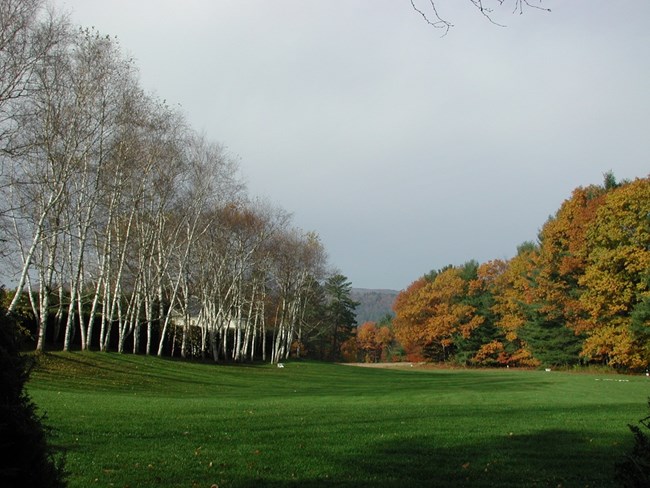
The landscape at Saint-Gaudens National Historic Site exhibits a refreshing mixture of vegetation contrasts and diverse topographic features. While the core of the park contains a variety of managed and planted lawns and gardens, the natural area is characterized by a diverse pattern of forest and wetland vegetation that is distributed like a mosaic over the terraces, ravines, floodplains, and hillslopes of the site. Like much of New Hampshire, the natural vegetation is in a dynamic state of gradual successional change.The Saint-Gaudens National Historic Site Vegetation Inventory Project delivers many geospatial and vegetation data products, including an in-depth project report discussing methods and results, which include descriptions to vegetation associations, field keys to vegetation associations, map classification, and map-class descriptions. The suite of products also includes a database of vegetation plots, and accuracy assessment (AA) sites; digital images of field sites; digital aerial imagery; digital maps; a contingency table listing AA results; and a geodatabase of vegetation, field sites (vegetation plots, and AA sites), aerial imagery, project boundary, and metadata.
Products
The products of vegetation mapping projects are stored and managed in the National Park Service's Data Store, a repository for documents and publications relating to park resources. From the highlighted items below, click on the type of information you are looking for.
Last updated: October 19, 2018
