NPS Photo / Stuart Holmes
Overview
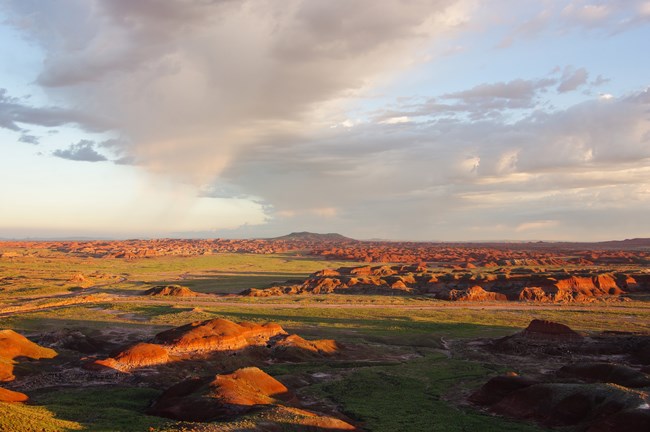
Biotic communities at Petrified Forest National Park belong to the Colorado Plateau Semi-Desert Province and include primarily arid grasslands, xeric shrublands, and sparsely vegetated badlands. Riparian species, such as cottonwoods and willows, grow along some of the permanent streams. Within the province as a whole, woodland is the most extensive vegetation formation, dominated by open stands of Colorado pinyon pine and several species of juniper, but the extent of woodland in the park is limited. One of the more important and least recognized biological communities in this area is cryptobiotic soil. These living crusts are comprised of cyanobacteria, lichens, mosses, green algae, microfungi, and bacteria, and represent up to 70% of the living ground cover.The Petrified Forest National Park Vegetation Inventory Project delivers many geospatial and vegetation data products, including an in-depth project report discussing methods and results, which include descriptions to vegetation associations, field keys to vegetation associations, map classification, and map-class descriptions. The suite of products also includes a database of vegetation plots, and accuracy assessment (AA) sites; digital images of field sites; digital aerial imagery; digital maps; a contingency table listing AA results; and a geodatabase of vegetation, field sites (vegetation plots, and AA sites), aerial imagery, project boundary, and metadata.
Products
The products of vegetation mapping projects are stored and managed in the National Park Service's Data Store, a repository for documents and publications relating to park resources. From the highlighted items below, click on the type of information you are looking for.
Last updated: October 19, 2018
