NPS Photo
Overview
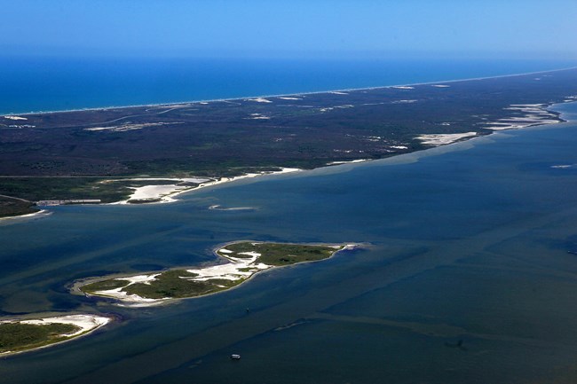
Padre Island National Seashore is the longest stretch of undeveloped barrier island in the world. In addition to its 70 miles of protected coastline, other important ecosystems abound, including rare coastal prairie, a complex and dynamic dune system, wind tidal flats teeming with life, and the Laguna Madre, one of the few hypersaline lagoon environments left in the world. Padre Island supports 75 plant families composed of almost 400 species.The Padre Island National Seashore Vegetation Inventory Project delivers many geospatial and vegetation data products, including an in-depth project report discussing methods and results, which include descriptions to vegetation associations, field keys to vegetation associations, map classification, and map-class descriptions. The suite of products also includes a database of vegetation plots, and accuracy assessment (AA) sites; digital images of field sites; digital aerial imagery; digital maps; a contingency table listing AA results; and a geodatabase of vegetation, field sites (vegetation plots, and AA sites), aerial imagery, project boundary, and metadata.
Products
The products of vegetation mapping projects are stored and managed in the National Park Service's Data Store, a repository for documents and publications relating to park resources. From the highlighted items below, click on the type of information you are looking for.
Last updated: November 14, 2018
