NPS Photo
Overview
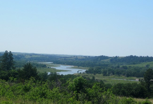
The Niobrara River valley is home to unusually diverse plant groups and ecosystems. Plants of eastern, western, and northern forest ecosystems and three Great Plains prairie ecosystems converge here. The river valley provides an unbroken east-west riparian corridor connecting the drier western landscape with the more humid midwestern prairie and eastern forest. Plants typical of each condition intermingle in this transition zone. The river valley diveristy of habitats is also due to differing slope, moisture, and soil conditions. As climate conditions change over time, plants typical of past colder conditions continue to survive in the sheltered cool, wet, north-facing branch canyons while they have disappeared from drier, warmer, more open areas.The Niobrara National Scenic River Vegetation Inventory Project delivers many geospatial and vegetation data products, including an in-depth project report discussing methods and results, which include descriptions to vegetation associations, field keys to vegetation associations, map classification, and map-class descriptions. The suite of products also includes a database of vegetation plots, and accuracy assessment (AA) sites; digital images of field sites; digital aerial imagery; digital maps; a contingency table listing AA results; and a geodatabase of vegetation, field sites (vegetation plots, and AA sites), aerial imagery, project boundary, and metadata.
Products
The products of vegetation mapping projects are stored and managed in the National Park Service's Data Store, a repository for documents and publications relating to park resources. From the highlighted items below, click on the type of information you are looking for.
Last updated: September 23, 2019
