NPS Photo
Overview
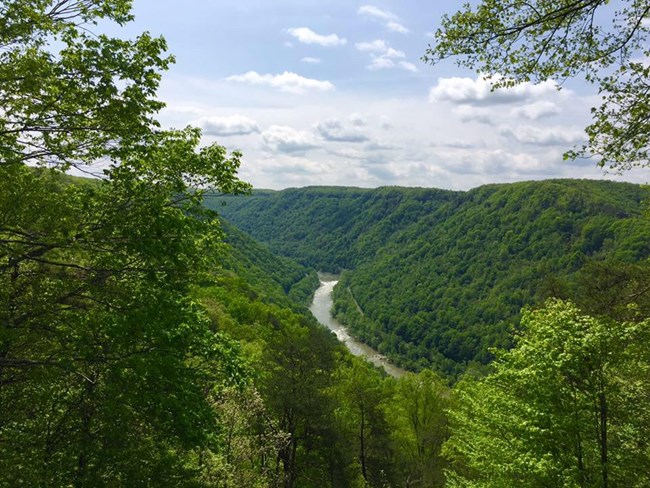
New River Gorge National River lies at the core of the largest remaining block of relatively unfragmented, mid-latitude forest in the world. The gorge section of the New River Gorge National River supports the most diverse plant assemblage of any river gorge in the central and southern Appalachians. This is due, in part, to the moisture gradient extremes that exist between the rim and river. Also located in the park is the rare Appalachian Flatrock plant community which includes sedges, cedars and pines. This plant assemblage occurs on flat sandstone ledges along the New River and is dependent on the scouring caused by occasional flooding for its long-term integrityThe New River Gorge National River Vegetation Inventory Project delivers many geospatial and vegetation data products, including an in-depth project report discussing methods and results, which include descriptions to vegetation associations, field keys to vegetation associations, map classification, and map-class descriptions. The suite of products also includes a database of vegetation plots, and accuracy assessment (AA) sites; digital images of field sites; digital aerial imagery; digital maps; a contingency table listing AA results; and a geodatabase of vegetation, field sites (vegetation plots, and AA sites), aerial imagery, project boundary, and metadata.
Products
The products of vegetation mapping projects are stored and managed in the National Park Service's Data Store, a repository for documents and publications relating to park resources. From the highlighted items below, click on the type of information you are looking for.
Last updated: October 18, 2018
