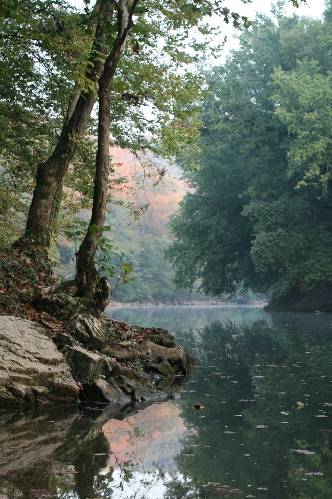
NPS Photo
Overview
Even without the world's longest cave system, the land encompassing Mammoth Cave National Park would merit its National Park status due simply to its extraordinary density – and diversity – of plant life. The park is located within Hart, Edmonson, & Barren counties in south central Kentucky. Past botanical surveys in the park have found 25 species listed as Endangered, Threatened, or of Special Concern by Kentucky State Nature Preserves Commission. Mammoth Cave National Park is a vital refuge for the protection of plant communities and individual species in danger. This mosaic of habitats and diversity of forests types and grasslands is, unfortunately, just as attractive to a wide variety of introduced plants. Mammoth Cave National Park proactively works to control invasive alien species that compromise the integrity of its native plant communities.The Mammoth Cave National Park Vegetation Inventory Project delivers many geospatial and vegetation data products, including an in-depth project report discussing methods and results, which include descriptions to vegetation associations, field keys to vegetation associations, map classification, and map-class descriptions. The suite of products also includes a database of vegetation plots, and accuracy assessment (AA) sites; digital images of field sites; digital aerial imagery; digital maps; a contingency table listing AA results; and a geodatabase of vegetation, field sites (vegetation plots, and AA sites), aerial imagery, project boundary, and metadata.
Products
The products of vegetation mapping projects are stored and managed in the National Park Service's Data Store, a repository for documents and publications relating to park resources. From the highlighted items below, click on the type of information you are looking for.
Last updated: October 18, 2018
