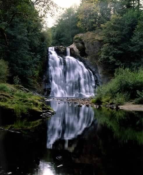
NPS Photo
Overview
Lewis and Clark National Historical Park is located near the mouth of the Columbia River on the Pacific coast. The park is composed of nine disconnected units in Oregon and Washington. The park's habitat diversity, ranging from coastal rainforest to riparian and estuarine marsh, shrub, and swamp wetlands, is responsible for its high diversity of plant and fungi species. More than 250 species of vascular plants and 74 of mosses and liverworts have been documented during recent surveys, and most are represented in the park herbarium.The Lewis and Clark National Historical Park Vegetation Inventory Project delivers many geospatial and vegetation data products, including an in-depth project report discussing methods and results, which include descriptions to vegetation associations, field keys to vegetation associations, map classification, and map-class descriptions. The suite of products also includes a database of vegetation plots, and accuracy assessment (AA) sites; digital images of field sites; digital aerial imagery; digital maps; a contingency table listing AA results; and a geodatabase of vegetation, field sites (vegetation plots, and AA sites), aerial imagery, project boundary, and metadata.
Products
The products of vegetation mapping projects are stored and managed in the National Park Service's Data Store, a repository for documents and publications relating to park resources. From the highlighted items below, click on the type of information you are looking for.
Last updated: October 17, 2018
