NPS Photo
Overview
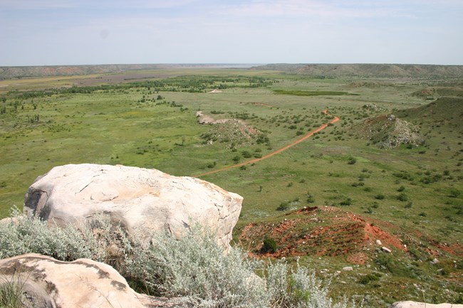
The Lake Meredith project area includes Lake Meredith National Recreation Area and Alibates Flint Quarries National Monument. It includes areas of relatively flat and rolling terrain and the 200 to 300 foot cliffs that make up what are called the Canadian River Breaks, formed by the carving action of the Canadian River and its many tributary streams.A multi-year approach was utilized to effectively classify and map the wide range of vegetation at LAMR and ALFL consisting of several linked phases: (1) vegetation classification using the National Vegetation Classification (NVC), (2) digital vegetation map production, and (3) map accuracy assessment. To classify the vegetation, 182 representative sample plots were located throughout the 46,000-acre (18,200 ha) park and surrounding environs during the summer of 2004. Analysis of the plot data using ordination and clustering techniques produced 29 vegetation communities, composed of one alliance, 18 existing associations and 10 additional associations that were newly described for this area.
Products
The products of vegetation mapping projects are stored and managed in the National Park Service's Data Store, a repository for documents and publications relating to park resources. From the highlighted items below, click on the type of information you are looking for.
Last updated: October 16, 2018
