NPS Photo
Overview
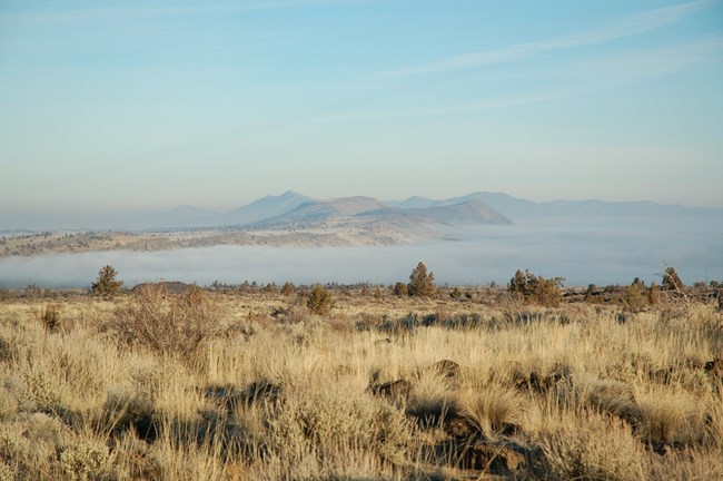
Lava Beds National Monument encompasses 18,936 ha in northeastern California. Elevation-driven changes in moisture and temperature yield marked zonation in vegetation at the monument. These factors interact with substrate age and topography to produce the vegetation mosaic. Grassland and big sagebrush communities dominate the lower elevation valleys and plateaus. With decreasing elevation from south to north, sagebrush increases in frequency while the density of western juniper, curl-leaf mountainmahogany, and overall vegetation stature decrease. At higher elevations and more mesic sites, ponderosa pine dominates.The Lava Beds National Monument Vegetation Inventory Project delivers many geospatial and vegetation data products, including an in-depth project report discussing methods and results, which include descriptions to vegetation associations, field keys to vegetation associations, map classification, and map-class descriptions. The suite of products also includes a database of vegetation plots, and accuracy assessment (AA) sites; digital images of field sites; digital aerial imagery; digital maps; a contingency table listing AA results; and a geodatabase of vegetation, field sites (vegetation plots, and AA sites), aerial imagery, project boundary, and metadata.
Products
The products of vegetation mapping projects are stored and managed in the National Park Service's Data Store, a repository for documents and publications relating to park resources. From the highlighted items below, click on the type of information you are looking for.
Last updated: October 17, 2018
