NPS Photo
Overview
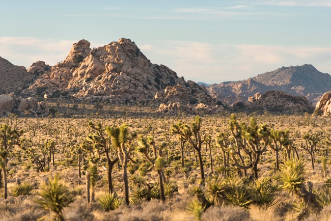
The nearly 800,000 acres known as Joshua Tree National Park is located in southern California. The Park includes portions of two deserts; the Colorado Desert is restricted to regions of the south and east below 3,000 feet, whereas the higher, moister, and slightly cooler Mojave Desert lies in the western and northern regions of the Park. The Little San Bernardino Mountains on the west end of the Park are unique in that they provide a geographic link to the Transverse and Peninsular ranges of the chaparral habitats of southern California. It is the confluence of these three bioregions, mojavean desert, coloradan desert, and cismontane chaparral, which provides for the rich and diverse flora. Nearly 730 vascular plant taxa have been documented and vouchered in the park.The Joshua Tree National Park Vegetation Inventory Project delivers many geospatial and vegetation data products, including an in-depth project report discussing methods and results, which include descriptions to vegetation associations, field keys to vegetation associations, map classification, and map-class descriptions. The suite of products also includes a database of vegetation plots, and accuracy assessment (AA) sites; digital images of field sites; digital aerial imagery; digital maps; a contingency table listing AA results; and a geodatabase of vegetation, field sites (vegetation plots, and AA sites), aerial imagery, project boundary, and metadata.
Products
The products of vegetation mapping projects are stored and managed in the National Park Service's Data Store, a repository for documents and publications relating to park resources. From the highlighted items below, click on the type of information you are looking for.
Last updated: October 16, 2018
