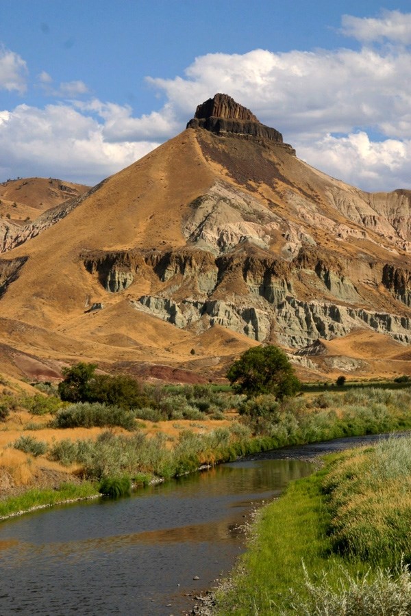
NPS Photo
Overview
World renowned for its collections of fossilized seeds, leaves, and wood, the John Day Fossil Beds National Monument also features a unique collection of modern flowers, cacti, and plants that have adapted to the volcanic outcrops and steep, rugged terrain found in the semi-arid environment. The John Day River and two of its tributaries, Rock Creek and Bridge Creek, meander through the monument. Cottonwood, willows, and alder provide line these areas. Sedges, rushes, and reed canarygrass also line the river edge, providing important bank protection.The John Day Fossil Beds National Monument Vegetation Inventory Project delivers many geospatial and vegetation data products, including an in-depth project report discussing methods and results, which include descriptions to vegetation associations, field keys to vegetation associations, map classification, and map-class descriptions. The suite of products also includes a database of vegetation plots, and accuracy assessment (AA) sites; digital images of field sites; digital aerial imagery; digital maps; a contingency table listing AA results; and a geodatabase of vegetation, field sites (vegetation plots, and AA sites), aerial imagery, project boundary, and metadata.
Products
The products of vegetation mapping projects are stored and managed in the National Park Service's Data Store, a repository for documents and publications relating to park resources. From the highlighted items below, click on the type of information you are looking for.
Last updated: October 15, 2018
