NPS Photo
Overview
Glen Canyon National Recreation Area and Rainbow Bridge National Monument have highly diverse vegetation typical of the Colorado Plateau region. Vegetation communities are affected by variations in soil, water availability, substrate type, and elevation.In the Glen Canyon area, low growing shrubs on clay badlands contrast sharply with lush hanging gardens fed by springs which grow on cliff walls. Green strips of riparian zones wind through desert slopes and past sheer cliffs. Though the creation of Lake Powell inundated the riparian, spring, and desert shrub habitats of Glen Canyon, these vegetation communities are still found in other areas of the park. Hanging gardens and springs comprise less than 1% of the area, but contribute a disproportionate number of species to the flora of Glen Canyon National Recreation Area.
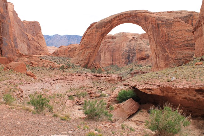
Rainbow Bridge National Monument protects and preserves 160 acres of the Colorado Plateau, a vast landscape of colorful buttes, mesas, canyons, and cliffs. Arid to semi-arid, the region supports a complex and often fragile ecosystem. Plants and wildlife have developed unique adaptations to the hot, arid conditions of their environment and contribute to the rich diversity of life in the area.
The Glen Canyon National Recreation Area and Rainbow Bridge National Monument Vegetation Inventory Project delivers many geospatial and vegetation data products, including an in-depth project report discussing methods and results, which include descriptions to vegetation associations, field keys to vegetation associations, map classification, and map-class descriptions. The suite of products also includes a database of vegetation plots, and accuracy assessment (AA) sites; digital images of field sites; digital aerial imagery; digital maps; a contingency table listing AA results; and a geodatabase of vegetation, field sites (vegetation plots, and AA sites), aerial imagery, project boundary, and metadata.
Products
The products of vegetation mapping projects are stored and managed in the National Park Service's Data Store, a repository for documents and publications relating to park resources. From the highlighted items below, click on the type of information you are looking for.
Last updated: October 31, 2018
