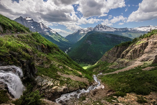
NPS Photo / Tim Rains
Overview
As the meeting ground of four major floristic provinces, Glacier National Park's ecosystem supports a diverse array of plant species and plant communities. Many species and plant communities reach the edge of their range here. Glacier Park has 30 species that are endemic to the region, those with ranges limited exclusively to the northern Rocky Mountains. The Park's plant cover is roughly 33% moist coniferous forest, 29% barren or sparsely vegetated rock/snow/ice, 16% dry coniferous forest, 8% dry meadow and prairie, 6% deciduous forest primarily aspen and black cottonwood, 5% wet meadow or fen, and 3% lake surface water.The Glacier National Park Vegetation Inventory Project delivers many geospatial and vegetation data products, including an in-depth project report discussing methods and results, which include descriptions to vegetation associations, field keys to vegetation associations, map classification, and map-class descriptions. The suite of products also includes a database of vegetation plots, and accuracy assessment (AA) sites; digital images of field sites; digital aerial imagery; digital maps; a contingency table listing AA results; and a geodatabase of vegetation, field sites (vegetation plots, and AA sites), aerial imagery, project boundary, and metadata.
Products
The products of vegetation mapping projects are stored and managed in the National Park Service's Data Store, a repository for documents and publications relating to park resources. From the highlighted items below, click on the type of information you are looking for.
Last updated: October 10, 2018
