NPS Photo
Overview
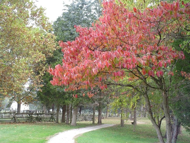
George Washington Birthplace National Monument preserves the heart of the Washingtons' lands in America. John Washington, the immigrant, arrived in Westmoreland County in 1657, and settled near Bridges Creek. Generations of Washingtons lived on these lands and established a legacy of public service, leadership, and love of the land. Not only do heritage crops grow in the fields but so do a myriad of other plants, grasses, and trees. The park protects about 525 acres of land and water today, only a portion of the area his father owned when young George lived nearby.The George Washington Birthplace National Monument Vegetation Inventory Project delivers many geospatial and vegetation data products, including an in-depth project report discussing methods and results, which include descriptions to vegetation associations, field keys to vegetation associations, map classification, and map-class descriptions. The suite of products also includes a database of vegetation plots, and accuracy assessment (AA) sites; digital images of field sites; digital aerial imagery; digital maps; a contingency table listing AA results; and a geodatabase of vegetation, field sites (vegetation plots, and AA sites), aerial imagery, project boundary, and metadata.
Products
The products of vegetation mapping projects are stored and managed in the National Park Service's Data Store, a repository for documents and publications relating to park resources. From the highlighted items below, click on the type of information you are looking for.
Last updated: October 9, 2018
